(1) 2D / 3D static network setting
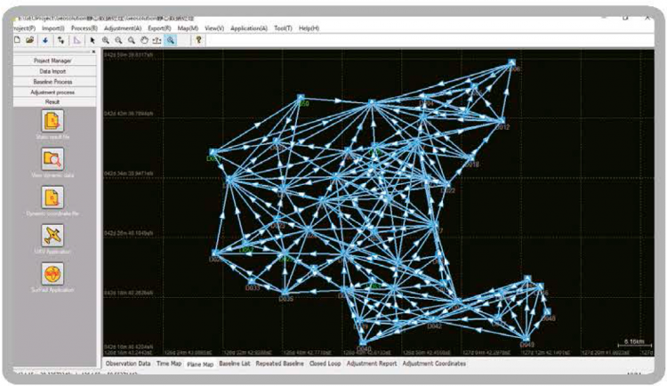
Geosolution’s proprietary algorithm can process baseline vectors and adjust any 2D/3D static network quickly and accurately. No matter if it is a network with a single loop path or a complex network with interconnected paths, Geosolution can fit all the observed data simultaneously and provide the best solution.
(2) High precision PPK solution
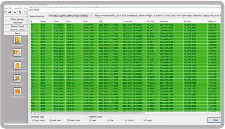
Geosolution does not only excel in the adjustment of topographic networks, it also has an advanced kinematic post-processing capability. Within a 15 km radius and with raw data collected for 5 minutes, the result of the PPK calculations can achieve and accuracy of within 4 cm. This can effectively compensate for RTK failures, especially in environments where radio link is intermittent.
(3) UAV data processing
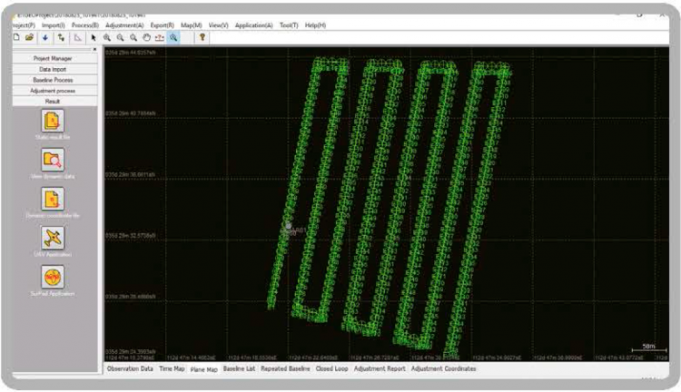
Geosolution features a dedicated UAV module for a quick and easy workflow in computing GNSS data from UAV-survey missions. The powerful UAV module allows trajectories to be processed quickly, and visualisation of the collected and post-processed data on a single interface.
- Covers the coordinate systems of nearly all countries and supports the import of GEOID files. Allows user-defined custom coordinate systems.
- IGS/CORS/Precise Ephemeris data download. Apply the IGS antenna information to process data from other leading brands. Download raw data from nearby CORS station directly into Geosolution for efficient processing.
- Least-Squares Adjustment. Geosolution’s least-squares adjustment module takes as input the vector’s solutions along with their corresponding covariance’s matrix. This matrix is then used to weight the vector’s solution in the adjustment, and obtain a unique set of coordinates as well as a valid representation of their accuracies.
- Various report formats to meet different project requirements. Geosolution can export .xml, .dxf, .dat and other different report formats.
- A powerful measurement tool which facilitates the management of your static data. Convert Rinex files, merge static data, download temporary satellite files.