Captures Capture RGB, thermal or multispectral images with any camera. If you are using a drone, automate flight and image-data transfer with the free Pix4Dcapture app.
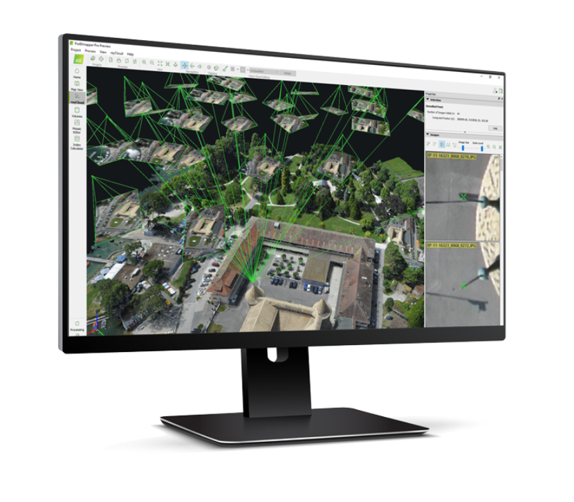
Digitize Pix4Dmapper transforms your images into digital spatial models. Seamlessly process your projects using the cloud or the desktop photogrammetry platform.
Control Assess and improve the quality of your project. The quality report gives a preview of the generated results, calibration details, and many more project quality indicators.
Measure & Inspect
Measure distances, areas, and volumes. Extract elevation profile data and perform virtual inspections.
Collaborate & Share Streamline project communication and teamwork. Selectively and securely share project data and insights with your team, clients, and suppliers, with standard file formats or online with Pix4D Cloud.